
Describe the characteristics of Indian remote sensing satellites. IAS 2024, 15 Marks
Describe the characteristics of Indian remote sensing satellites. IAS 2024, 15 Marks

Introduction:
Indian remote sensing satellites are known for their advanced technology and capabilities.
Characteristics of Indian Remote Sensing Satellites (IRS)
1. Evolution and Development
- Initiation: The IRS program began in the 1980s to support India's developmental goals.
- First Satellite: IRS-1A, launched in 1988, marked the beginning of India's operational remote sensing program.
- Continuous Advancement: From early satellites like IRS-1A to advanced satellites like CartoSat and ResourceSat, the IRS series has grown in capability.
2. Types of Satellites
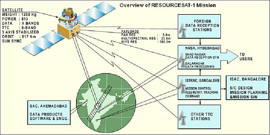
- ResourceSat Series: Focuses on natural resource management, with applications in agriculture, forestry, and land-use mapping.
- CartoSat Series: Provides high-resolution imagery for cartography and urban and rural planning.
- OceanSat Series: Supports oceanographic studies such as monitoring ocean color and wind speed.
- RISAT Series: Uses synthetic aperture radar for all-weather surveillance, aiding agriculture and disaster management.
- HySIS: Focuses on hyperspectral imaging for detailed analysis of Earth's surface.
3. Orbit and Coverage
- Sun-Synchronous Orbits: Ensures consistent lighting conditions, crucial for capturing accurate and repeatable images.
- Global Reach: The satellites cover all regions, enabling comprehensive mapping and monitoring.
4. Sensor Capabilities
- Multispectral and Hyperspectral Sensors: Capture data across various wavelengths for detailed analysis.
- High Spatial Resolution: Enables detailed mapping and identification of small features.
- Temporal Resolution: Provides frequent revisits for monitoring dynamic changes.
5. Payload and Technology
- Advanced Imaging Systems: Includes panchromatic cameras, multispectral sensors, and synthetic aperture radar (SAR).
- Multiple Spectral Bands: Supports applications ranging from agriculture to mineral exploration.
- Data Transmission: Uses advanced communication systems for rapid data transfer to ground stations.
6. Applications
- Geology: Mineral exploration, mapping geological structures, and monitoring geological hazards.
- Agriculture: Crop health assessment, soil moisture analysis, and precision farming.
- Forestry: Monitoring deforestation, biodiversity assessment, and forest health evaluation.
- Disaster Management: Early warning and impact assessment for floods, earthquakes, and cyclones.
7. Contribution to National Development
- Support for Governance: Aids in policy-making through accurate land-use and resource data.
- Economic Benefits: Enhances agricultural productivity, mineral exploration, and infrastructure development.
- Environmental Conservation: Assists in monitoring and managing natural resources sustainably.
Conclusion:
Indian remote sensing satellites are known for their advanced technology, imaging capabilities, and wide range of applications. They play a crucial role in monitoring and managing various aspects of the Earth's surface, making them an important tool for scientific research and decision-making.